Precision Aerial Surveys, Photography, and Videography for Arlington
Virginia's Elevated Perspective Solutions
For any aerial survey requirement in Virginia, including advanced magnetometer and electromagnetic surveys, LiDAR, and precise GIS mapping, Arlington Helicopter Charters offers comprehensive solutions. We capitalize on the inherent low-altitude and hover capabilities of helicopters for accurate data acquisition. Furthermore, we specialize in sophisticated aerial filming services, providing technical configurations from aircraft door removal for handheld operations to the integration of advanced gyro-stabilized camera systems for optimal cinematography and photography. Arlington Helicopter Charters delivers unparalleled options for comprehensive aerial imaging and data collection across the Commonwealth.
Aerial
Surveys
LiDAR, GIS Maps, FLIR, HD Video & More
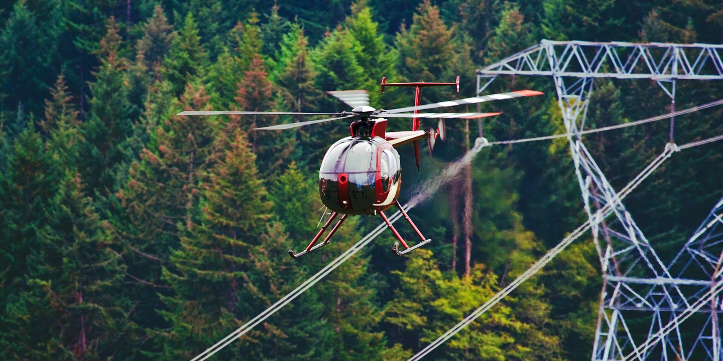
Arlington Helicopter Charters provisions the precise helicopters and specialized equipment required for critical infrastructure integrity projects. This includes accurate pipeline surveys, detailed right-of-way inspections, and comprehensive transmission line patrols, ensuring efficient and reliable project execution for asset management throughout Virginia.
High Tech Results
The Top Pilots in Virginia, Today's Technology... Maximum Results.
Call 1-866-826-4826 Now!
Arlington Helicopter Charters provides the tools needed to complete your land surveys, utilizing the right equipment to provide the aerial photos that are often needed.
Effective aerial surveys provide a streamlined approach to critical operations such as right-of-way and site inspections, topographical data acquisition, and high-definition imaging for commercial projects across Virginia. Helicopter surveys represent the optimal method for comprehensive terrain assessment, identifying pipeline anomalies, detecting transmission line issues, and acquiring precise property visuals. Arlington Helicopter Charters engineers customized photographic and remote sensing operations, specifically designed to maximize technical and financial efficiency while delivering superior results.
The inherent operational characteristics of a helicopter, enabling flight at significantly lower altitudes and airspeeds than fixed-wing aircraft, establish it as the ideal platform for aerial surveying. Unlike fixed-wing counterparts constrained by FAA minimums of 1,000 feet above obstacles, helicopters can operate at much lower strata. This agility also facilitates access to complex or hazardous zones, providing engineers with critical perspectives that are otherwise unattainable through conventional means.
There is no better way to conduct your visual survey, animal population counts, soil drainage analysis, ROW inspections, pipeline and transmission line inspections, and geographical surveys.
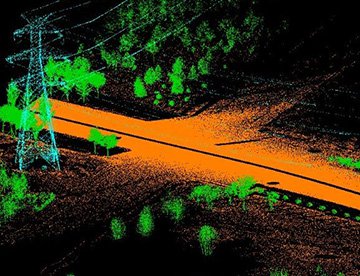
LiDAR Imaging
Light Detection and Ranging, or LiDAR, is a remote sensing method used to examine and measure Virginia topography as well as objects, like vegetation, upon it.
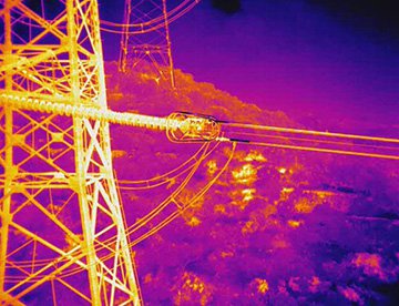
Infrared Imaging
Thermographic IR cameras are used to detect radiation in the long-infrared range of the electromagnetic spectrum and produce images of that radiation, called thermograms.
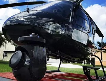
HD Video Gimbal Capture
Modern HD and 4K cameras can be mounted to helicopters, using the proper STCs, with a gimbal to stabilize photos & videos for detailed results.
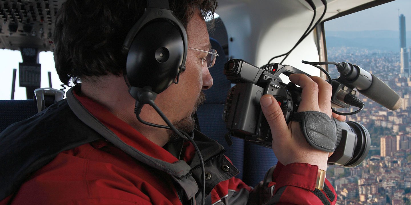
Advanced Aerial Cinematography and Professional Videography
For expert camera work in the Arlington Sky
Get a Fast, free QuoteArlington Aerial Cinematography
Arlington Helicopter Charters provides access to comprehensive resources for professional-grade aerial cinematography across Virginia. Our network facilitates custom shoots utilizing advanced gyro-stabilized camera mounts, including Tyler Mounts, Wescam, Cineflex, Pictorvision, and SpaceCam, integrated with high-performance specialty cameras such as Cineflex HD, RED Epic, and ARRI Alexa, alongside 3D and experimental camera systems. We support diverse production requirements from air-to-air to ground-to-air shots. Specializing in helicopter support for both still and motion photography, Arlington Helicopter Charters accommodates nearly every media-related operation in Virginia, encompassing film, television, documentaries, promotional videos, commercials, aerial prop deployment, and critical event coverage for news networks, ensuring meticulous visual results through collaboration with aerial Directors of Photography and production teams.
Call Us Today at 1-866-826-4826 for a Free Quote
Contact Us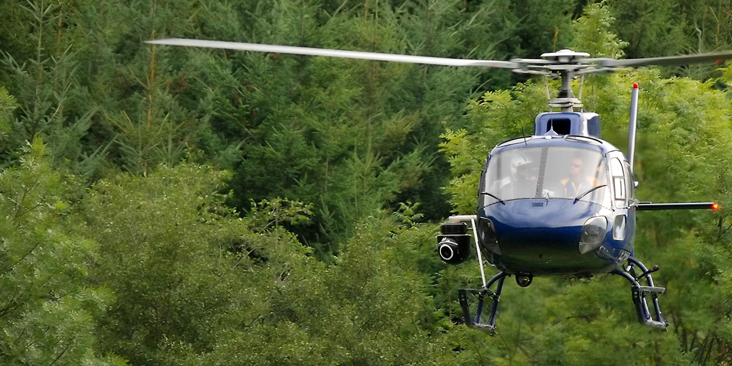
Aerial Photos
Hand-held or Mounted OpTions in Arlington
We will help you get the right equipment for your aerial photography project! Call 1-866-826-4826 today to get a fast, free quote.
The Most Options for Photography
Leverage helicopter charters to capture Virginia’s diverse landscapes through professional aerial photography missions. Our services are meticulously designed to provide unparalleled perspectives and technical solutions, enabling the capture of high-fidelity imagery that aligns precisely with your creative vision. Aircraft can be configured for door-off operations for optimal handheld photography, and we offer advanced gyro-stabilized camera mount options to ensure superior image stability and clarity. Arlington Helicopter Charters delivers optimized solutions for discerning photographers seeking exceptional results across the Commonwealth.
Superior Service
Every one of our customers gets a dedicated helicopter expert to assist with flight plans, tech loadouts, production logistics, project schedules, and other demands.
Over 500 Aircraft
Our network of direct air partners extends well beyond Arlington, Virginia. This allows us to offer a wide range of solutions for even the most sophisticated projects.
The Best Equipment
From high-tech sensors like LiDAR, FLIR, and GIS to HD cameras and movie production gimbals, we're here to make your job as easy as possible.